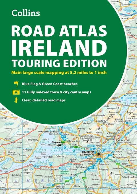
Road Atlas Ireland
Report an issue
Tell us what's wrong and we'll take a look.
Thanks – we got it. We'll review and follow up if needed.
Explore Ireland with this accurate and fully updated road atlas.
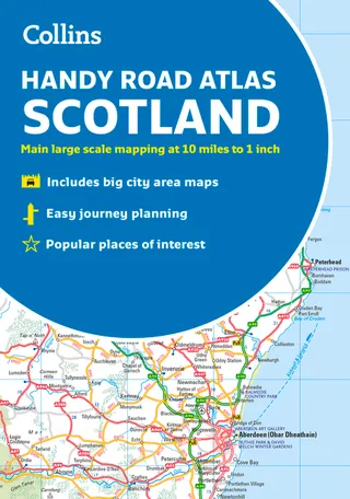
This handy A4-sized atlas covers the whole of Ireland with clear, detailed Collins color mapping at a scale of 5.2 miles to 1 inch--perfect for residents, visitors, and anyone touring the Emerald Isle. Designed for easy navigation, it provides comprehensive coverage of roads, towns, and scenic routes across both the Republic of Ireland and Northern Ireland.
This revised edition includes:
Tourist attractions and places of interest
Contact information for Tourist Information Centres with grid references
Fully indexed street maps of 11 major cities and towns: Dublin, Belfast, Cork, Limerick, Waterford, Londonderry (Derry), Galway, Bangor, Dún Laoghaire, Drogheda, and Killarney
Blue Flag and Green Coast beaches
Ferry routes and airport locations
Distance chart and road distances in miles and kilometers
Route planning map of Ireland at 15.8 miles to 1 inch
Administrative map of Irish counties and districts
Ideal for travel, route planning, or exploring Ireland's hidden gems, this trusted Collins atlas is your essential companion for the open road.



Why Readwise Books?
Readwise Books is an ebook & audiobook platform that automatically logs how much you and your friends read, making it fun and easy to read more. Learn more →