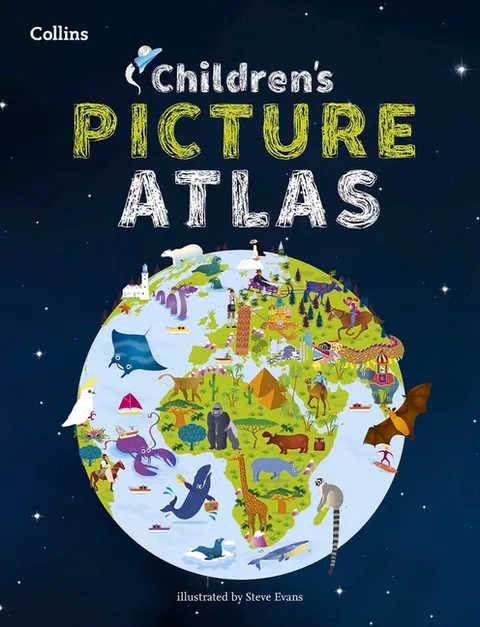
Collins Children's Picture Atlas
Report an issue
Tell us what's wrong and we'll take a look.
Thanks – we got it. We'll review and follow up if needed.
A beautifully illustrated picture atlas designed to take children on an exciting journey around the world.
The atlas opens with the continents, then presents a world view of countries before exploring deeper into each country and the exciting places to visit within each.- The maps are clear, colourful and perfect for children to explore the world and let their imaginations run riot.
- Illustrated by Steve Evans.
- This book is ideal for home or school and finding out more about the world whilst also helping to develop essential reading skills.
- Clear, colourful, highly informative, illustrated mapping designed for young readers.
- Arranged by continent for easy reference.
- Facts about the world we live in are included on each spread.





Why Readwise Books?
Readwise Books is an ebook & audiobook platform that automatically logs how much you and your friends read, making it fun and easy to read more. Learn more →