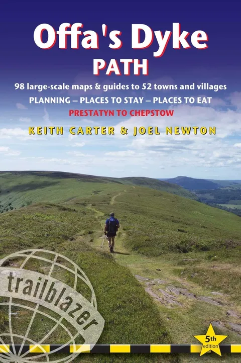
Offa's Dyke Path
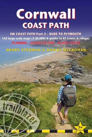
British Walking Guide: Planning, Places to Stay, Places to Eat; Includes 98 Large-Scale Walking Maps
Report an issue
Tell us what's wrong and we'll take a look.
Thanks – we got it. We'll review and follow up if needed.
This is an all-in-one hiking route guide, maps and accommodations for the 177-mile Offa's Dyke Path in Wales, which runs along the border with England. Includes 87 large-scale walking maps (3 1/8 inches to 1 mile); 11 town maps and 15 overview maps. Full details of all accommodations and campsites, restaurants and pubs; plus full public transport information. Includes day-walks.
- 11 town plans and 87 large-scale walking maps - at just under 1:20,000 - showing route times, places to stay, points of interest and much more
- Plus 14 overview maps
- Itineraries for all walkers - whether walking the route in its entirety over seven to eight days or sampling the highlights on day walks and short breaks
- Practical information for all budgets - camping, bunkhouses, hostels, B&Bs, pubs and hotels - where to stay, where to eat, what to see, plus detailed street plans
- Comprehensive public transport information - for all access points on the path.
- Flora and fauna - four page full color flower guide, plus an illustrated section on local wildlife
- Green hiking - understanding the local environment and minimizing our impact on it
- GPS waypoints. These are also downloadable from the Trailblazer website.
- Includes extra colour sections: 16pp colour introduction and 16pp of colour mapping for stage sections (one stage per page) with trail profiles.


Joel Newton
Joel Newton is the Director of Technology Services at the Illinois Holocaust Museum & Education Center and a member of Congregation B'nai Jehoshua Beth Elohim (BJBE) in Deerfield, IL. In 2021, he converted to Judaism and joined the BJBE board as the Social Action / Social Justice chairperson. He earned a master's degree in philosophy from University College Dublin. He lives with his family in Northbrook, IL. You can learn about his other interests at joelgnewton.com.
More by Joel Newton


Why Readwise Books?
Readwise Books is an ebook & audiobook platform that automatically logs how much you and your friends read, making it fun and easy to read more. Learn more →