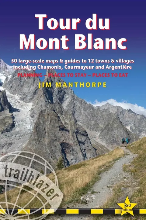
Tour Du Mont Blanc
Trail Guide with 50 Large-Scale Maps and Guides to 12 Towns and Villages Including Chamonix, Courmayeur and Argentière - Planning, Places to Stay, Places to Eat
Report an issue
Tell us what's wrong and we'll take a look.
Thanks – we got it. We'll review and follow up if needed.
62 maps - 12 town and village plans and 50 large-scale walking maps - at 1:20,000 - showing route times, gradients, where to stay, interesting features
Itineraries for all walkers - whether walking the 105 mile (168km) route in its entirety, or sampling the highlights on day walks and short breaks
Practical information for all budgets - where to stay (campsites, gîtes, hostels, B&Bs, lodges and hotels), where to eat, what to see
Comprehensive background information - the Alps, flora and fauna, the history of mountaineering and trekking in the region and the conquest of Mont Blanc in 1786 by Bourrit and Balmat
Full public transport information - for all access points
Climbing Mont Blanc - practical information, guides, the route to the top



Why Readwise Books?
Readwise Books is an ebook & audiobook platform that automatically logs how much you and your friends read, making it fun and easy to read more. Learn more →