Report an issue
Tell us what's wrong and we'll take a look.
Thanks – we got it. We'll review and follow up if needed.
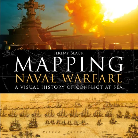
A visually stunning account of how naval conflict was recorded and planned, using contemporary mapping.
Naval operations and warfare were, and remain, a key element for mapping. Maps were vital for commanders in drawing up plans of attack, and their detail and usefulness have increased over the centuries as the science of mapping has developed.
This beautiful book examines stunning original maps from a series of key conflicts from the Spanish Armada, the American Wars of Independence, and the Napoleonic wars to twentieth century conflicts from the First World War to Vietnam, and explains how they were represented through mapping and how the maps produced helped naval commanders to plan their strategy.




Why Readwise Books?
Readwise Books is an ebook & audiobook platform that automatically logs how much you and your friends read, making it fun and easy to read more. Learn more →