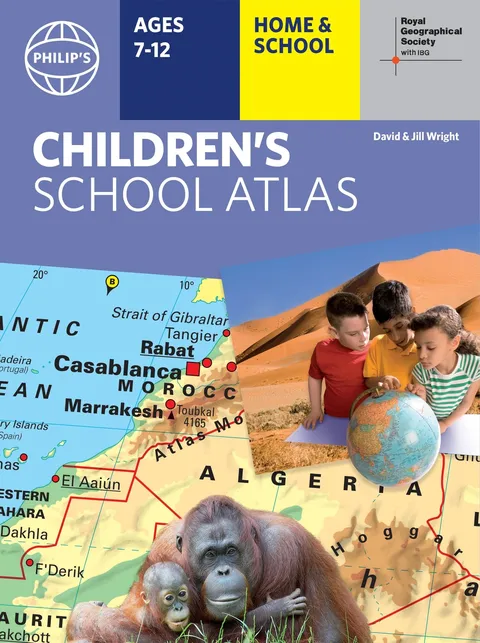
Philip's RGS Children's School Atlas
Report an issue
Tell us what's wrong and we'll take a look.
Thanks – we got it. We'll review and follow up if needed.
"This is such a great book for primary school age children and a little beyond for finding out about the world, its countries and people" Amazon customer review
- Philip's atlas, designed specially to use at home and at school with guidance for parents and teachers
- Clear maps and fascinating facts bring geography to life for readers aged 7-12
- Published in association with the Royal Geographical Society
- Quizzes, activity ideas and puzzles to make learning fun
- Past winner of the Geographical Association's award for making a significant contribution to geography
The atlas is organized spread by spread in the classic sequence: first Europe, then its land neighbour Asia, followed by Africa, Australia and Oceania, North America and South America. Illustrated with captivating full-colour photographs and packed with fact boxes, curiosities, flags, stamps and quiz questions, Philip's RGS Children's Atlas is both fun to use and easy to understand.
Now in its 16th edition, Philip's RGS Children's Atlas is a past winner of the Geographical Association's award for making a significant contribution to geography. The atlas was judged "an excellent 'all round' children's atlas with simple yet well-designed maps, well-illustrated with colour photographs. It links places to issues, events and real people, giving a clear sense of place."
Philip's Maps
Philip's has been at the forefront of creating maps and atlases since 1834. Whether a local street map or a fact-packed World Atlas, we use the most up-to-date technology, expertise and our global network to ensure our customers have all the information they need.
More by Philip's Maps
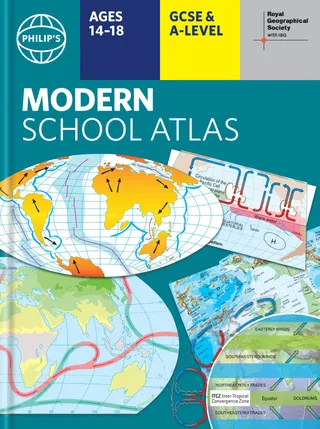
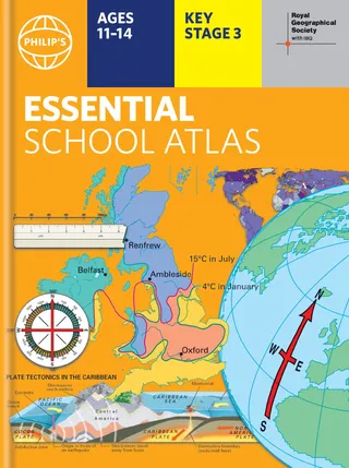
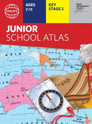
Why Readwise Books?
Readwise Books is an ebook & audiobook platform that automatically logs how much you and your friends read, making it fun and easy to read more. Learn more →