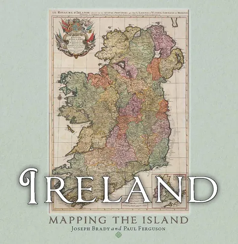
Ireland: Mapping the Island
Report an issue
Tell us what's wrong and we'll take a look.
Thanks – we got it. We'll review and follow up if needed.
An illustrated history of Ireland through maps, showing the changing landscapes, politics, and culture across the centuries.
A Hodges Figgis Book of the Year
Shortlisted for the An Post Irish Book Awards History Book of the Year
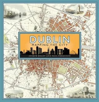
Maps allow us to see how the world is organised spatially and show us relationships which cannot be understood from simply reading a text. This magnificent book highlights a vast selection of maps that range across the centuries and cover every part of the island, shedding light on the history and development of Ireland.
The themes are many and varied, from conquest and colonisation, the management of the landscape, natural resources, meeting the needs of tourists, transport, the growth of urban centres as well as exploring how others saw Ireland, and much more besides. Carefully selected by two noted map experts, this highly visual book tells the story of Ireland in a unique and stimulating way.



Paul Ferguson
Paul Ferguson is a lifelong paddler and author of several books on paddling in the Carolinas.
More by Paul Ferguson




Why Readwise Books?
Readwise Books is an ebook & audiobook platform that automatically logs how much you and your friends read, making it fun and easy to read more. Learn more →