Report an issue
Tell us what's wrong and we'll take a look.
Thanks – we got it. We'll review and follow up if needed.
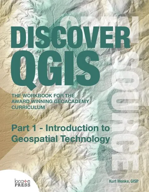
Get a great introduction to Geospatial Technology with Part 1 of Discover QGIS. This GIS curriculum is based on a national standard--the U.S. Department of Labor's Geospatial Competency Model--a hierarchical model of the knowledge, skills, and abilities needed to work as a GIS professional in today's marketplace.
Originally written for QGIS v2.4, the material in this workbook has been updated for use with QGIS v2.14, Inkscape v0.91, and GRASS GIS v7.0.3. This is the most up-to-date version of the GeoAcademy curriculum. To aid in learning, all exercise data includes solution files.
The workbook is edited by one of the lead GeoAcademy authors, Kurt Menke, a highly experienced FOSS4G educator.
Kurt Menke
Kurt Menke, GISP, a former Albuquerque, New Mexico, USA-based archaeologist, holds a masters in geography from the University of New Mexico. He is founded Bird's Eye View. He also focuses on public health and education. He is an avid GIS proponent since he began writing MapServer applications and has authored Discover QGIS. In 2015, Kurt was voted as an OSGeo Charter Member. He is a FOSS4G educator and co-authors the GeoAcademy. In 2015, he was awarded the Global Educator of the Year by GeoForAll as part of the GeoAcademy team. He authors an award-winning blog on FOSS4G technologies and their use in community health mapping.
More by Kurt Menke


Why Readwise Books?
Readwise Books is an ebook & audiobook platform that automatically logs how much you and your friends read, making it fun and easy to read more. Learn more →