Report an issue
Tell us what's wrong and we'll take a look.
Thanks – we got it. We'll review and follow up if needed.
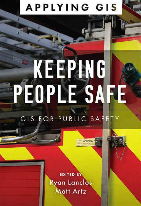
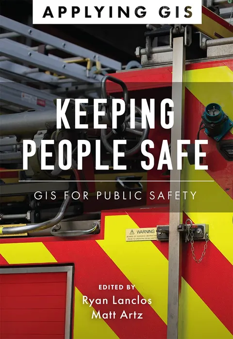
Discover a modern approach to help mitigate threats to public safety in your community.
Creating safer, less vulnerable communities requires a modern approach to understanding threats and hazards that are more complex, costly, and devastating than ever before. Public safety agencies around the world rely on geographic information systems (GIS) technology every day to prevent, protect against, and mitigate the effects of threats and hazards in their communities. By applying GIS, you'll develop a deeper understanding of these complex threats to help you better respond to and recover from the threats that pose the greatest risk to keeping your community safe and ultimately build the resilience needed for the future.
Keeping People Safe: GIS for Public Safety explores a collection of real-life case studies about emergency management, law enforcement, fire, rescue, emergency medical services, and homeland security agencies successfully using GIS for real and potential threats. The book also includes a “how to get started” section that provides ideas, strategies, tools, and actions to help jump-start your own use of GIS for public safety. A collection of online resources, including additional stories, videos, new ideas and concepts, and downloadable tools and content, complements this book.
Ryan Lanclos
Ryan Lanclos is the Director of Public Safety Solutions at Esri where he is responsible for strategic initiatives across public safety and national security. He serves as Esri's subject matter expert on GIS for emergency management and humanitarian response, and he leads Esri's Disaster Response Program (DRP) that provides 24x7 GIS support to organizations during disasters.


Why Readwise Books?
Readwise Books is an ebook & audiobook platform that automatically logs how much you and your friends read, making it fun and easy to read more. Learn more →