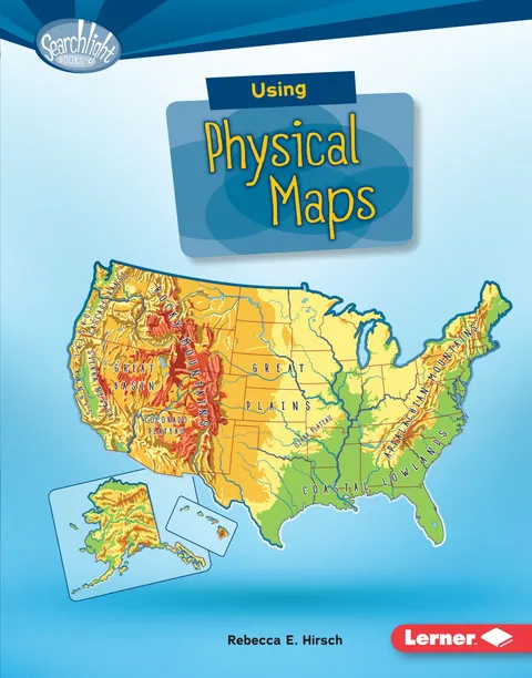
Using Physical Maps
Report an issue
Tell us what's wrong and we'll take a look.
Thanks – we got it. We'll review and follow up if needed.
Have you ever wondered which countries have the most lakes? Or where the highest point in your state is? Physical maps show landscape features. They also often show land elevation, or how high the land is above sea level. But how do you use physical maps? And what do the different colors and symbols on these maps mean? Read on to learn all about physical maps!
Rebecca E. Hirsch
Rebecca E. Hirsch is an award- winning children's author with a PhD in plant biology. Her picture books include Plants Can't Sit Still and Night Creatures: Animals That Swoop, Crawl, and Creep while You Sleep. She lives with her husband and three children in State College, Pennsylvania. You can visit her online at rebeccahirsch.com.
More by Rebecca E. Hirsch





Why Readwise Books?
Readwise Books is an ebook & audiobook platform that automatically logs how much you and your friends read, making it fun and easy to read more. Learn more →