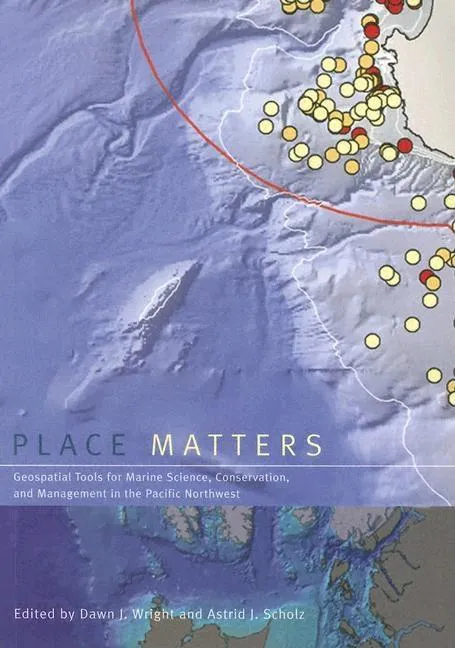
Place Matters
Geospatial Tools for Marine Science, Conservation, and Management in the Pacific Northwest
Report an issue
Tell us what's wrong and we'll take a look.
Thanks – we got it. We'll review and follow up if needed.
Although the ocean provides living space for about 97 percent of life on Earth, less than 5 percent of the ocean below the surface has actually been seen, let alone explored. Now, using the geogrpahic information system (GIS), marine scientists are gaining new insights into a once-mysterious world. A technologically sophisticated database, information-management, and display system, GIS holds tremendous potential for mapping, interpreting, and managing ocean environments--"from the seafloor to the seafloor to the shoreline. "Place Matters explores how marine GIS is contributing to the understanding, management, and conservation of the shores and ocean of the Pacific Northwest, which is becoming a hotbed of marine GIS development and applications as scientists expand the use of this cutting-edge technology to a variety of ocean science, policy, and management issues. Using these geospatial databases and tools, scientists, resource managers, and conservationists--"often in collaboration--"are making advances in the way that data are collected, documented, used, shared, and saved. The contributors to "Place Matters show how together they are using GIS to hadle and exploit present and future data streams from observatories, experiments, numerical models, simulations, and other sources, yielding fresh insights into oceanographic, ecological, and socioeconomic conditions of the marine environment. The book begins with a conceptual framework, laying out selected methods and models for conservation-based marine GIS. Chapters in the second section describe working examples of marine GIS tools and large-scale implementations. The final section focuses onthe use of GIS by environmntal advocacy andlocal citizens' organizations. A companion Web site includes GIS maps and databases, as well as extensive Web-based resources. with its unique focus on the use of GIS to solve marine conservation problems, "Place Matters offers an important new resources for all who study and work to protect the world's oceans.
Dawn J Wright
As chief scientist of Esri, Dawn Wright aids in strengthening the scientific foundation for Esri software and services, while also representing Esri to the scientific community. A specialist in marine geology, with record-setting submersible dives in Alvin (to the East Pacific Rise), Pisces V, and the Limiting Factor (to Challenger Deep), she has also authored and contributed to some of the most definitive literature on marine GIS. Dawn is an elected member of both the US National Academy of Sciences and the US National Academy of Engineering, as well as a Fellow of the American Association for the Advancement of Science, The Oceanography Society, and the Geological Society of America. She holds lifetime achievement awards from the American Association of Geographers, the Geological Society of America, and WINGS World Quest Women of Discovery. Dawn was included on The Independent Climate 100 List 2024, recognizing the world's foremost environmentalists. Dawn is also professor of geography and oceanography at Oregon State University, where she was named Oregon Professor of the Year in 2007. She has coauthored several books for Esri Press, including Ocean Solutions, Earth Solutions and the GIS for Science series.
More by Dawn J Wright





Why Readwise Books?
Readwise Books is an ebook & audiobook platform that automatically logs how much you and your friends read, making it fun and easy to read more. Learn more →