Report an issue
Tell us what's wrong and we'll take a look.
Thanks – we got it. We'll review and follow up if needed.
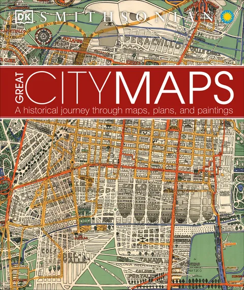
Great City Maps is the companion title to DK's Great Maps and takes a focused look at over 70 gorgeously illustrated historical maps and plans of cities around the globe. Dive into the details of each beautiful map and learn about interesting features with visual tours of the maps' highlights - such as the Old London Bridge of London in 1572 and the orchards of Brooklyn in 1767 New York.
Cities are centers of civilization and the way their maps portray them reflects their politics, religion, and culture. See how certain cities, and cartographic techniques, changed over time. More than just a bird's-eye view, this irresistible book tells the tales behind the cities from the hubs of ancient peoples to modern mega-cities, and profiles the iconic cartographers and artists who created each map.
Perfect for history, geography, and cartography enthusiasts and a stunning gift for armchair explorers of all ages, Great City Maps is your window into the world's most fascinating cities.









Why Readwise Books?
Readwise Books is an ebook & audiobook platform that automatically logs how much you and your friends read, making it fun and easy to read more. Learn more →