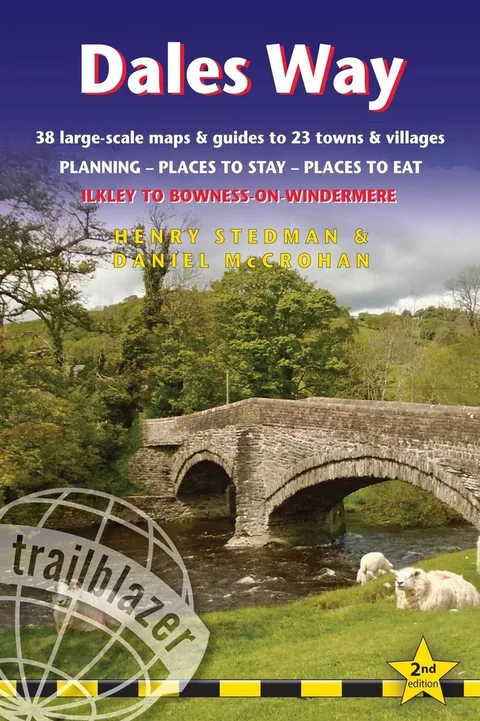
Dales Way
British Walking Guide: 38 Large-Scale Walking Maps (1:20,000) & Guides to 33 Towns & Villages - Planning, Places to Stay, Places to Eat - Ilkley to Bowness-On-Windermere
Report an issue
Tell us what's wrong and we'll take a look.
Thanks – we got it. We'll review and follow up if needed.
Includes 38 large-scale maps (3 1/8 inches to 1 mile); 9 town plans and 8 overview maps. Full details of all accommodations and campsites, restaurants and pubs; plus full public transport information. Plus day-walks.
- 38 large-scale walking maps - at just under 1:20,000 - showing route times, places to stay, points of interest and much more
- 9 town plans
- 8 area maps and trail profiles
- Itineraries for all walkers - whether walking the route in its entirety over a week or sampling the highlights on day walks and short breaks
- Practical information for all budgets - camping, bunkhouses, hostels, B&Bs, pubs and hotels; Ilkley to Bowness-on-Windermere - where to stay, where to eat, what to see, plus detailed street plans
- Comprehensive public transport information - for all access points on the Dales Way.
- Flora and fauna - four page full color flower guide, plus an illustrated section on local wildlife
- Green hiking - understanding the local environment and minimizing our impact on it
- Includes downloadable gps waypoints










Why Readwise Books?
Readwise Books is an ebook & audiobook platform that automatically logs how much you and your friends read, making it fun and easy to read more. Learn more →